Towards eastern Switzerland
From Zurich, you usually travel into eastern Switzerland and continue towards Urnäsch or Nesslau.
Switzerland · Säntis
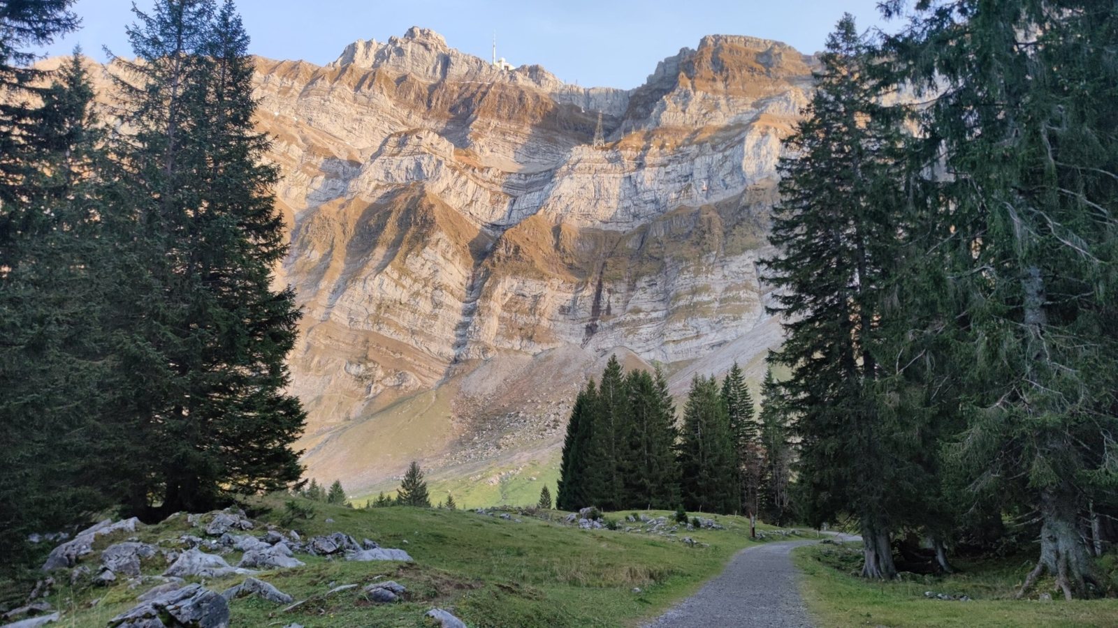
Short, steep and serious: the route from Schwägalp via Tierwis is not an easy viewpoint walk.
First orientation
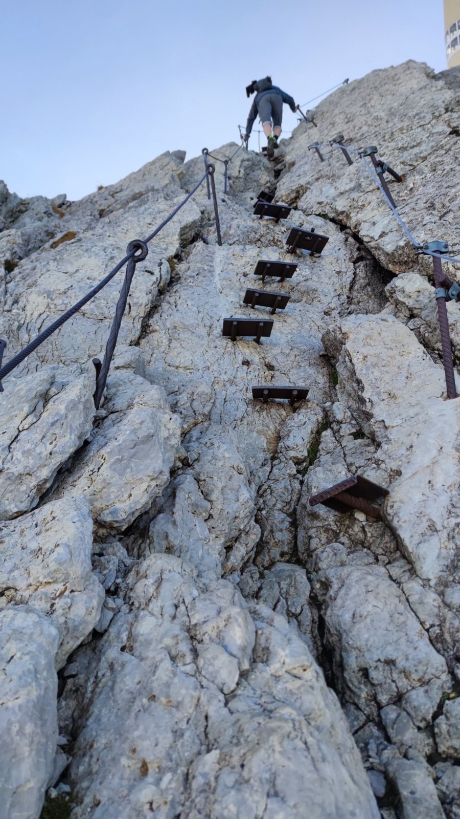
Schwägalp – Tierwis – Säntis is a real mountain hike. The route is described as difficult, with about 4.4 kilometres and about 1,186 metres of ascent. Difficult passages are secured with steel cables.
Public transport
From Zurich, you usually travel into eastern Switzerland and continue towards Urnäsch or Nesslau.
The official access information names Appenzeller Bahnen to Urnäsch and Thurbo to Nesslau. From there, PostAuto goes directly to Schwägalp.
Use SBB for the actual day. In summer, weekend buses can run more frequently in good weather.
Route
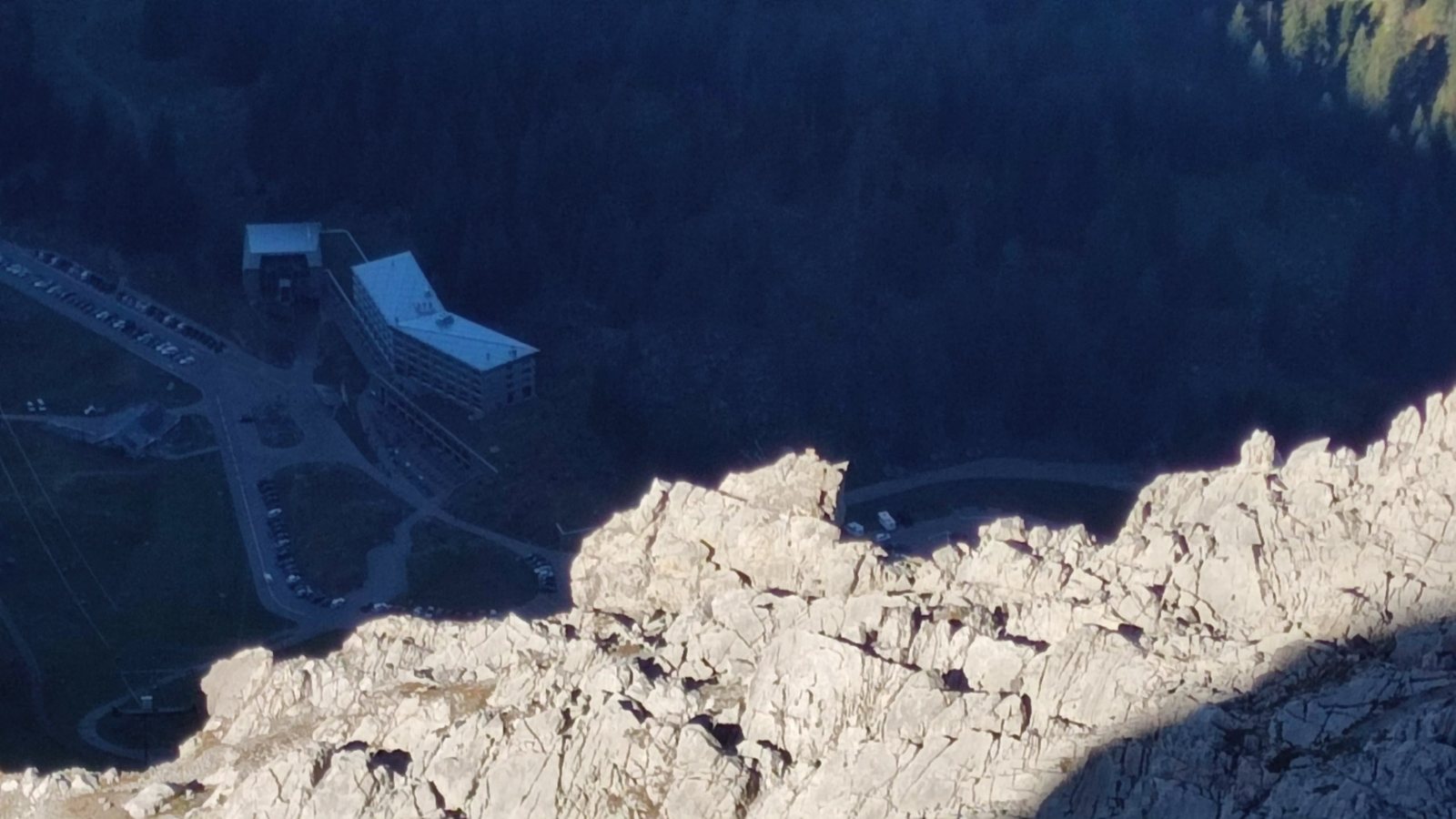
The route starts at Schwägalp near the valley station of the Säntis cable car. Overnight stays are also possible on Schwägalp.
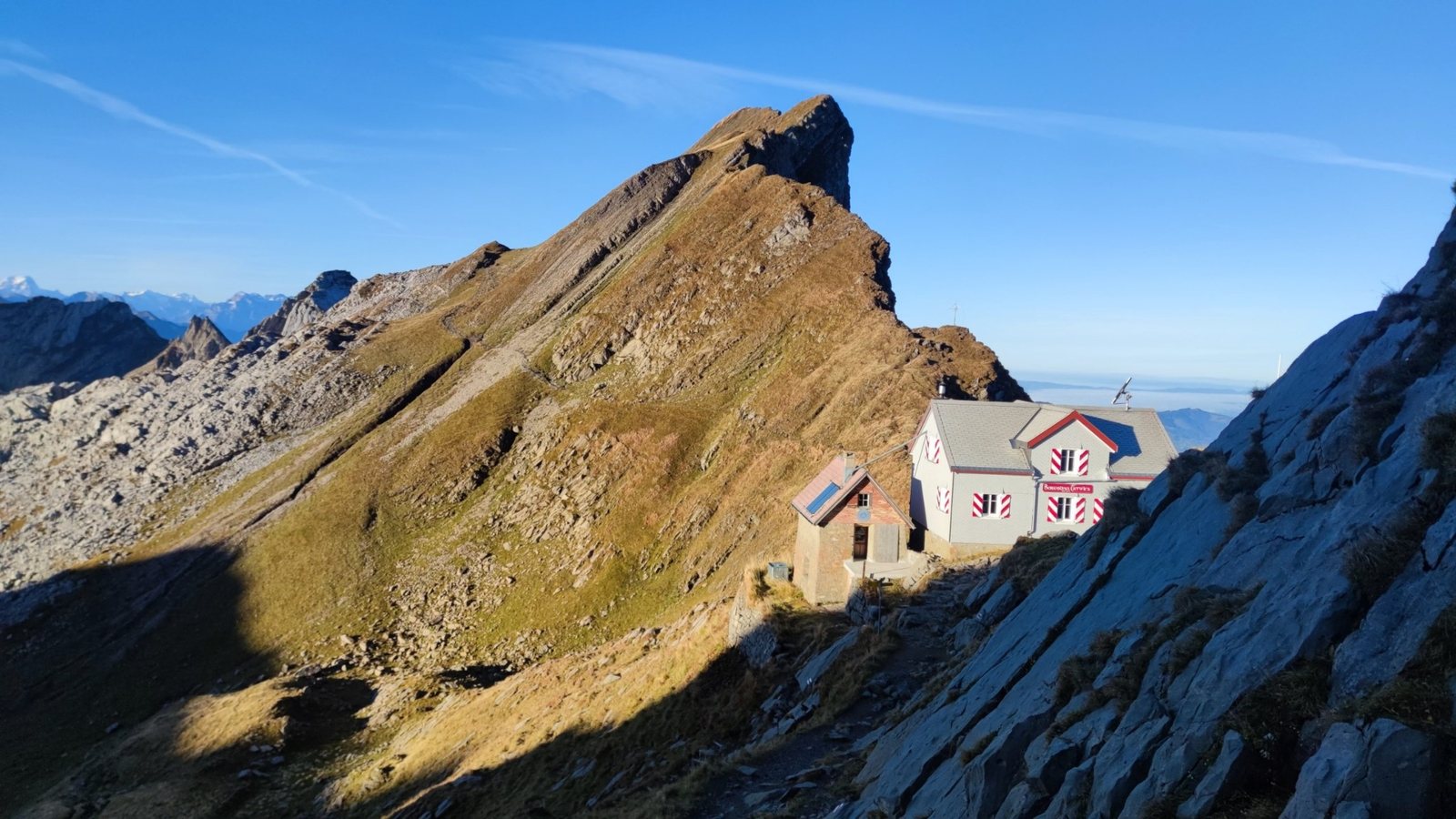
Berggasthaus Tierwis is an important intermediate point and can also be used as an overnight stop.
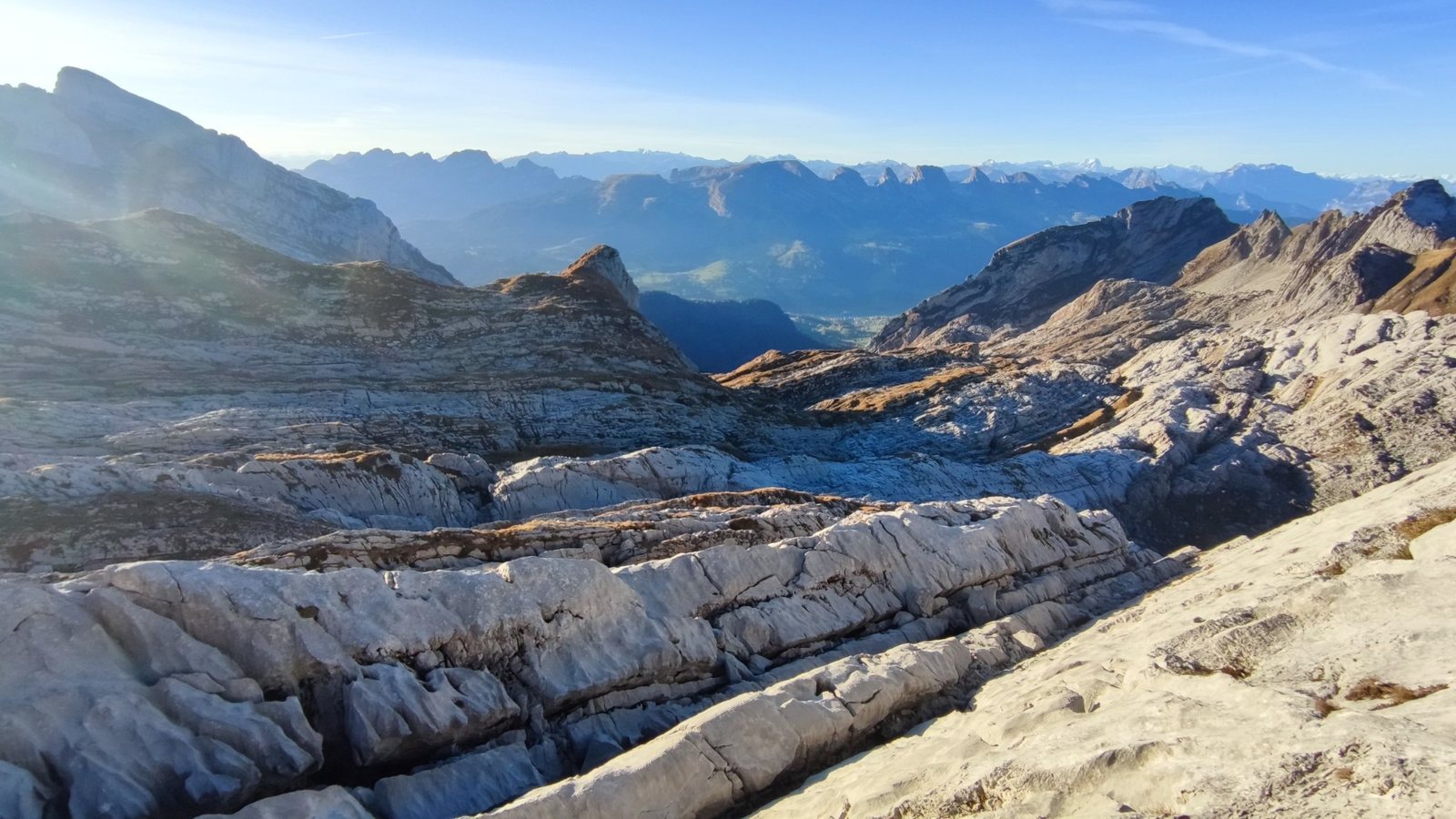
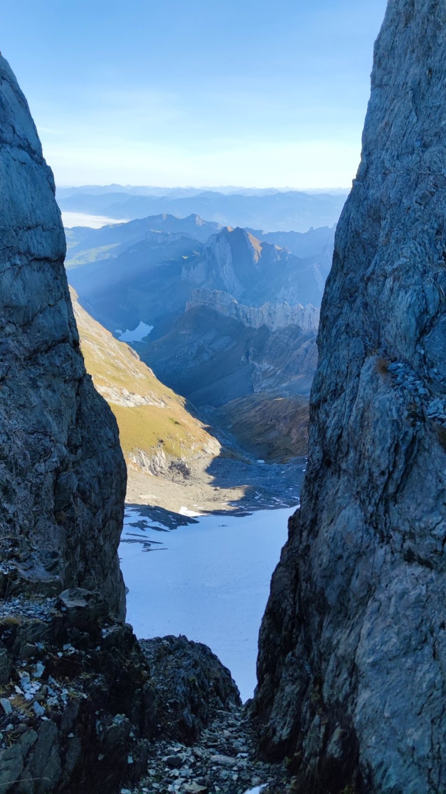
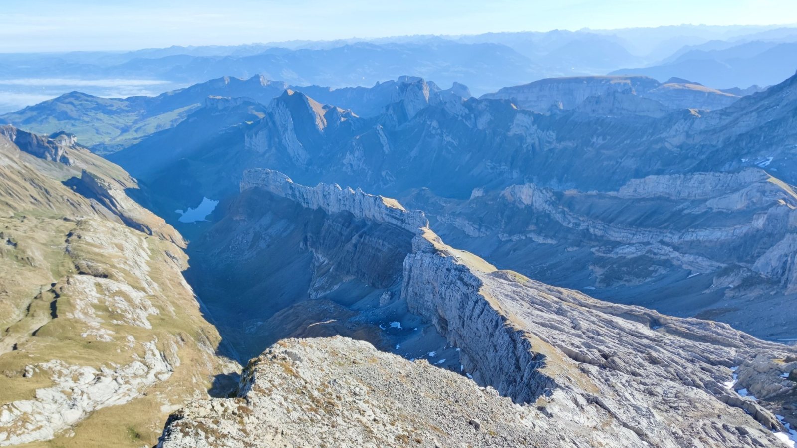
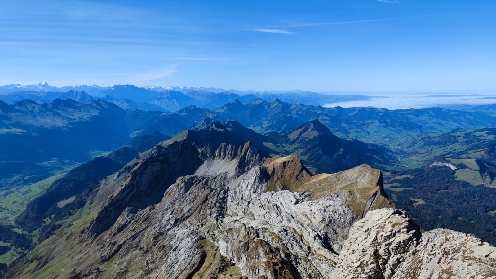
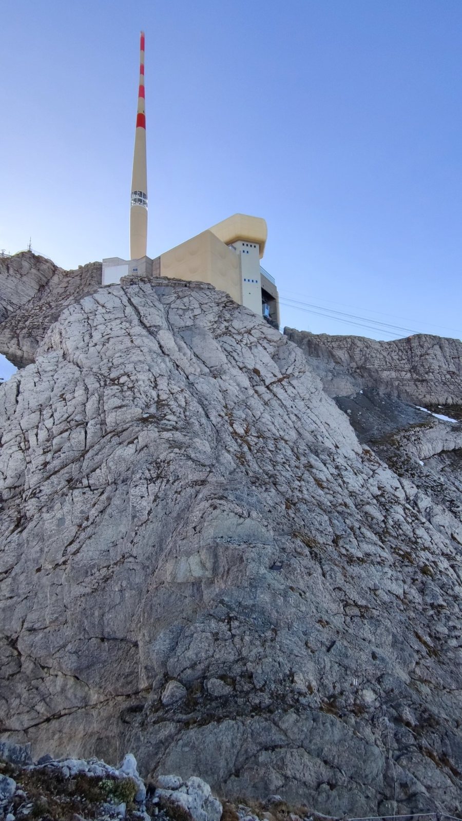
After Tierwis, the route becomes rockier and more alpine. It continues via Stütze 2, Girensattel and the Himmelsleiter towards the summit.
After the new cable car reopens, passengers are expected to be able to board and leave at the new middle support near today’s Stütze 2. During the full closure in 2026, do not plan this stop as a way down.
Difficulty
Difficulty: difficult / alpine mountain hike. Depending on source and section, it sits roughly in the T3 range with T4 style passages.
The most sensible season is summer to early autumn, in stable weather and with little remaining snow.
In 2026, the Säntis cable car is closed from May until late autumn due to renewal works. Do not automatically plan the cable car as your way down.
If this is your first European mountain hike, start with easier lake or cable-car based walks first.
Gallery
Route information